File:A76 bridge over the River Ayr - Geograph - 734032.jpg
Jump to navigation
Jump to search

No higher resolution available.
A76_bridge_over_the_River_Ayr_-_Geograph_-_734032.jpg (640 × 480 pixels, file size: 129 KB, MIME type: image/jpeg)
| |||||||||||||||||||||||||
|
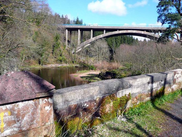
Galleries | A76 | Howford Bridge (Ayrshire) | ||
File history
Click on a date/time to view the file as it appeared at that time.
| Date/Time | Thumbnail | Dimensions | User | Comment | |
|---|---|---|---|---|---|
| current | 13:13, 23 July 2010 | | 640 × 480 (129 KB) | Bob@romiley1 (talk | contribs) | '''A76 bridge over the River Ayr'''<br/>Taken from the old bridge. This is shown as a yellow road on the OS mapping but is in fact closed to traffic. |
File usage
The following 2 pages use this file: