File:A770 Cloch Road - Geograph - 6225625.jpg
Jump to navigation
Jump to search

No higher resolution available.
A770_Cloch_Road_-_Geograph_-_6225625.jpg (640 × 423 pixels, file size: 76 KB, MIME type: image/jpeg)
| |||||||||||||||||||||||||
|
Galleries | A770 | ||
File history
Click on a date/time to view the file as it appeared at that time.
| Date/Time | Thumbnail | Dimensions | User | Comment | |
|---|---|---|---|---|---|
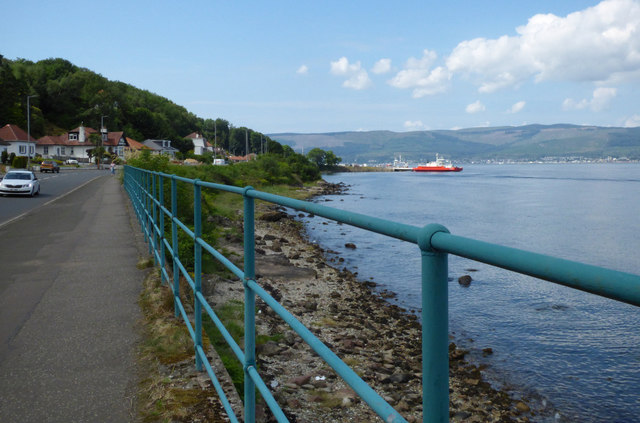
| current | 20:05, 21 February 2021 | | 640 × 423 (76 KB) | Tam nugent (talk | contribs) | The A770 road near McInroys Point ferry terminal. The path is part of National Cycle Network Route 75. |
File usage
There are no pages that use this file.