File:A770 Cloch Road Gourock - Geograph - 2465423.jpg
Jump to navigation
Jump to search

No higher resolution available.
A770_Cloch_Road_Gourock_-_Geograph_-_2465423.jpg (640 × 480 pixels, file size: 119 KB, MIME type: image/jpeg)
| |||||||||||||||||||||||||
|
Galleries | A770 | ||
File history
Click on a date/time to view the file as it appeared at that time.
| Date/Time | Thumbnail | Dimensions | User | Comment | |
|---|---|---|---|---|---|
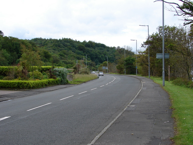
| current | 20:22, 21 February 2021 | | 640 × 480 (119 KB) | Tam nugent (talk | contribs) | Looking towards the site of the former Gantock Hotel, the Firth of Clyde is just out of sight to the right. |
File usage
There are no pages that use this file.