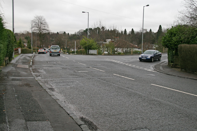
The A808 / B8049 junction on the old Roman Road, the Military Way. It forks left here onto the B road, although the junction has been realigned to fit round a railway line.
The A808 / B8049 junction on the old Roman Road, the Military Way. It forks left here onto the B road, although the junction has been realigned to fit round a railway line.
