File:A819-mon-hill1.jpg
Jump to navigation
Jump to search

Size of this preview: 400 × 600 pixels. Other resolution: 427 × 640 pixels.
Original file (427 × 640 pixels, file size: 145 KB, MIME type: image/jpeg)
| |||||||||||||||||||||||||
|
Galleries | A819 | Wade's Military Roads | Abandoned Road | ||
File history
Click on a date/time to view the file as it appeared at that time.
| Date/Time | Thumbnail | Dimensions | User | Comment | |
|---|---|---|---|---|---|
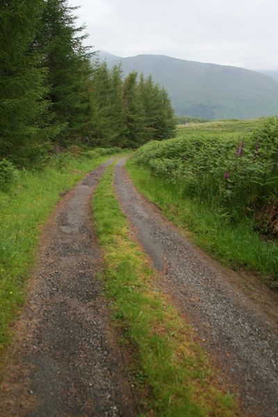
| current | 11:28, 7 July 2011 | | 427 × 640 (145 KB) | Rileyrob (talk | contribs) | The old military road descending Monument Hill near Dalmally. This was the A819 until the new road was built in the late 1930s |
File usage
There are no pages that use this file.