File:A82, Drumnadrochit - Geograph - 2365774.jpg
Jump to navigation
Jump to search

No higher resolution available.
A82,_Drumnadrochit_-_Geograph_-_2365774.jpg (640 × 480 pixels, file size: 64 KB, MIME type: image/jpeg)
| |||||||||||||||||||||||||
|
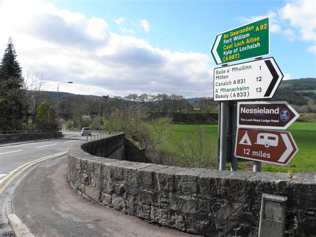
Galleries | A82/Loch Ness | A831 | Drumnadrochit | Drumnadrochit Bridge | Inverness-shire | ||
File history
Click on a date/time to view the file as it appeared at that time.
| Date/Time | Thumbnail | Dimensions | User | Comment | |
|---|---|---|---|---|---|
| current | 16:48, 15 January 2012 | | 640 × 480 (64 KB) | Glen (talk | contribs) | A82, Drumnadrochit |
File usage
The following 5 pages use this file: