File:A82-study2.jpg
Jump to navigation
Jump to search

No higher resolution available.
A82-study2.jpg (800 × 418 pixels, file size: 166 KB, MIME type: image/jpeg)
| |||||||||||||||||||||||||
|
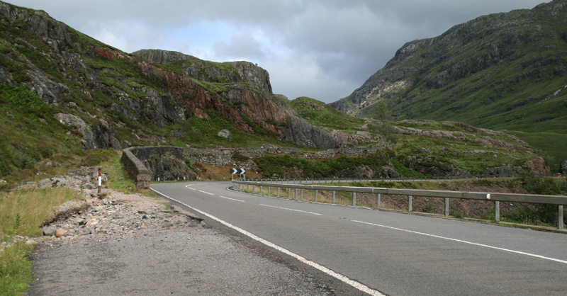
Galleries | A82/Glencoe | Telford's Highland Roads | The Study | S2 | Abandoned Road | ||
File history
Click on a date/time to view the file as it appeared at that time.
| Date/Time | Thumbnail | Dimensions | User | Comment | |
|---|---|---|---|---|---|
| current | 20:54, 21 July 2010 | | 800 × 418 (166 KB) | Rileyrob (talk | contribs) | The 1786 Drove road climbs to the left of the wall, while the 1930s route curves to the right. I know which I'd prefer to drive along! |
File usage
The following page uses this file: