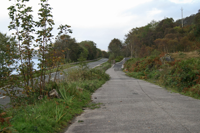
The cycle lane follows the old road on the right, while the new road runs along the old railway line. Behind me, the old road remains as a public road providing access to the houses of Lurigrnish and Polanach
The cycle lane follows the old road on the right, while the new road runs along the old railway line. Behind me, the old road remains as a public road providing access to the houses of Lurigrnish and Polanach
