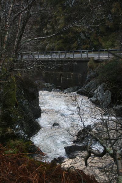
The newer route of the A83 in Glen Croe. As with the A82 in Glencoe, the road here appears to use part of the river bed, with a substantial retaining wall forcing the river into a narrower channel alongside.
The newer route of the A83 in Glen Croe. As with the A82 in Glencoe, the road here appears to use part of the river bed, with a substantial retaining wall forcing the river into a narrower channel alongside.
File usage
There are no pages that use this file.
Metadata
This file contains additional information, probably added from the digital camera or scanner used to create or digitise it.
If the file has been modified from its original state, some details may not fully reflect the modified file.
