File:A836 bridge at Inchkinloch - Geograph - 4557180.jpg
Jump to navigation
Jump to search

No higher resolution available.
A836_bridge_at_Inchkinloch_-_Geograph_-_4557180.jpg (640 × 480 pixels, file size: 78 KB, MIME type: image/jpeg)
| |||||||||||||||||||||||||
|
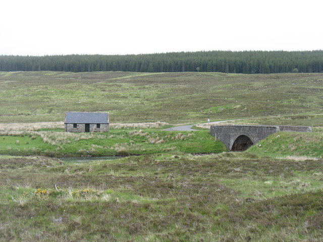
Galleries | A836 | Inchkinloch Bridge | ||
File history
Click on a date/time to view the file as it appeared at that time.
| Date/Time | Thumbnail | Dimensions | User | Comment | |
|---|---|---|---|---|---|
| current | 19:23, 7 December 2019 | | 640 × 480 (78 KB) | Glen (talk | contribs) | '''A836 bridge at Inchkinloch''' Inchkinloch is an interesting name, as 'Inch' usually means 'island' and there is no sign of one here. |
File usage
The following page uses this file: