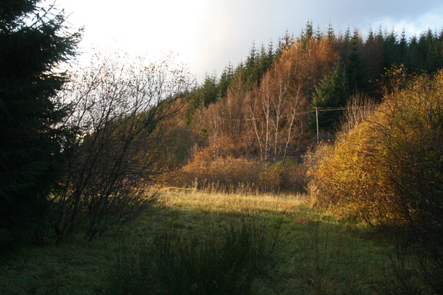
This grassy strip shows the alignment of the road constructed by Telford 200 years ago, and in use until the new bridge opened in the 1930s. Any evidence of the old bridge has disappeared however.
This grassy strip shows the alignment of the road constructed by Telford 200 years ago, and in use until the new bridge opened in the 1930s. Any evidence of the old bridge has disappeared however.
