File:A890 Stromeferry Bypass - rockfall shelter aerial from east.jpg
Jump to navigation
Jump to search

Size of this preview: 800 × 534 pixels. Other resolution: 2,000 × 1,334 pixels.
Original file (2,000 × 1,334 pixels, file size: 974 KB, MIME type: image/jpeg)
| |||||||||||||||||||||||||
|
Galleries | A890 | Photo of the Month December 2021 | Ross-shire | Photo of the Month Winners | ||
File history
Click on a date/time to view the file as it appeared at that time.
| Date/Time | Thumbnail | Dimensions | User | Comment | |
|---|---|---|---|---|---|
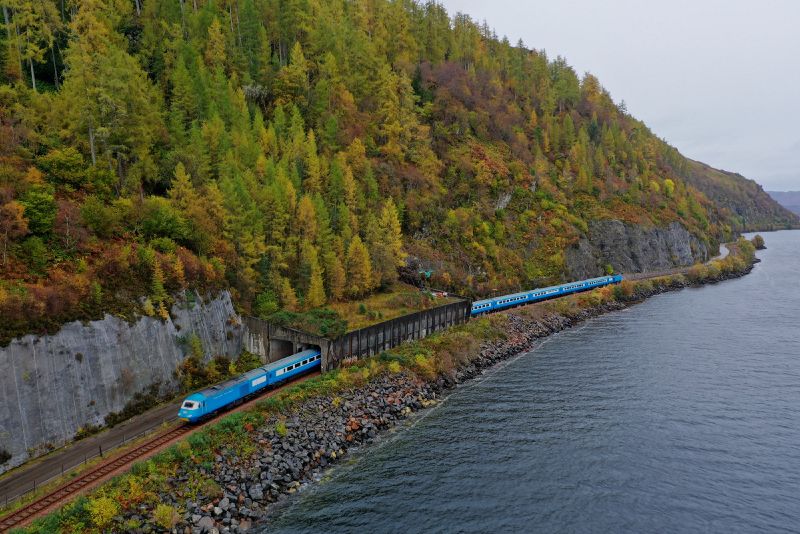
| current | 00:49, 6 November 2021 | | 2,000 × 1,334 (974 KB) | Glen (talk | contribs) | '''A890 rockfall shelter on the shore of Loch Carron''' |
File usage
The following page uses this file: