File:A894 past Quinag - Coppermine - 17557.jpg
Jump to navigation
Jump to search

No higher resolution available.
A894_past_Quinag_-_Coppermine_-_17557.jpg (640 × 480 pixels, file size: 65 KB, MIME type: image/jpeg)
| |||||||||||||||||||||||||
|
Galleries | A894 | North and West Highlands Route | NC500 | ||
File history
Click on a date/time to view the file as it appeared at that time.
| Date/Time | Thumbnail | Dimensions | User | Comment | |
|---|---|---|---|---|---|
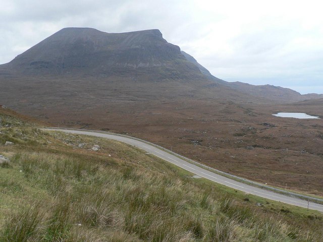
| current | 19:02, 16 January 2010 | | 640 × 480 (65 KB) | Rileyrob (talk | contribs) | {{Information |description = '''A894 past Quinag''' - A remote stretch of the A894 (like all stretches of it!). The peak of Quniag is in the distance. |day = 3 |month = 4 |year = 2008 |photographer = Ts |source = |
File usage
There are no pages that use this file.