File:A896 Torridon - road liable to flooding.jpg
Jump to navigation
Jump to search

Size of this preview: 800 × 463 pixels. Other resolution: 1,280 × 740 pixels.
Original file (1,280 × 740 pixels, file size: 706 KB, MIME type: image/jpeg)
| |||||||||||||||||||||||||
|
Galleries | A896 | B858 (Torridon) | Wester Ross Coastal Trail | Single track road | Warning Sign/Other Danger | NC500 | ||
File history
Click on a date/time to view the file as it appeared at that time.
| Date/Time | Thumbnail | Dimensions | User | Comment | |
|---|---|---|---|---|---|
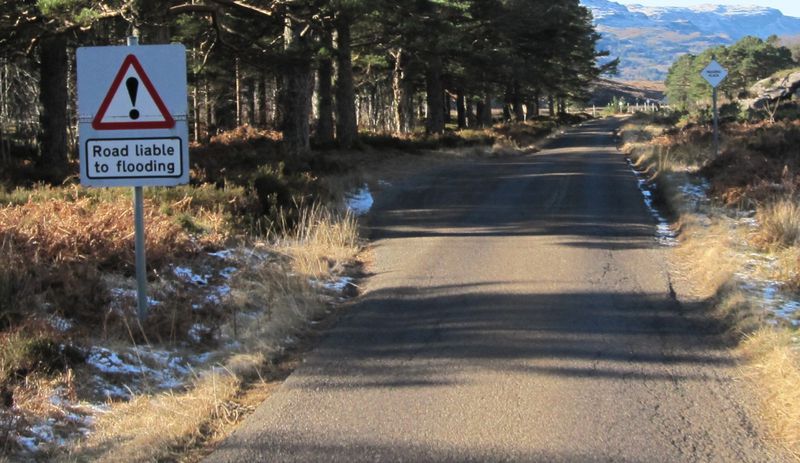
| current | 20:15, 19 June 2012 | | 1,280 × 740 (706 KB) | Glen (talk | contribs) | Road liable to flooding warning sign on A896 in Glen Torridon |
File usage
The following 5 pages use this file: