File:A90 at Burnshot from the air - Geograph - 3069068.jpg
Jump to navigation
Jump to search

No higher resolution available.
A90_at_Burnshot_from_the_air_-_Geograph_-_3069068.jpg (640 × 480 pixels, file size: 71 KB, MIME type: image/jpeg)
| |||||||||||||||||||||||||
|
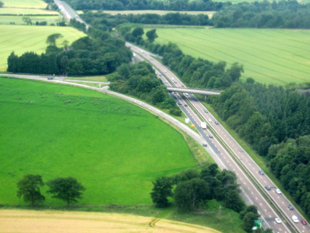
Galleries | A90 | New Burnshot Junction | ||
File history
Click on a date/time to view the file as it appeared at that time.
| Date/Time | Thumbnail | Dimensions | User | Comment | |
|---|---|---|---|---|---|
| current | 13:00, 27 February 2018 | | 640 × 480 (71 KB) | C2r (talk | contribs) | '''A90 at Burnshot from the air''' From a flight from Paris CDG just coming in to land at Edinburgh Airport. |
File usage
The following page uses this file: