 | |  |
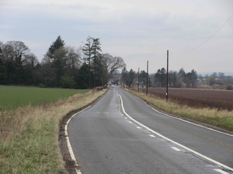
| | Description: | The long straight heading for the village of Meigle from the east. | | Location: | 56.590456, -3.145240 | | Road: | | | Date: | 06 04 2018 | | Photographer: | Scott Cormie | | Source: | |
|
|
| |
 | |  |
File history
Click on a date/time to view the file as it appeared at that time.
| Date/Time | Thumbnail | Dimensions | User | Comment |
|---|
| current | 13:27, 13 April 2018 |  | 5,184 × 3,888 (688 KB) | Scotti (talk | contribs) | The long straight heading for the village of Meigle from the east. |
File usage
There are no pages that use this file.
This file contains additional information, probably added from the digital camera or scanner used to create or digitise it.
If the file has been modified from its original state, some details may not fully reflect the modified file.
