File:A970, North Collafirth - Geograph - 3830549.jpg
Jump to navigation
Jump to search

No higher resolution available.
A970,_North_Collafirth_-_Geograph_-_3830549.jpg (640 × 480 pixels, file size: 243 KB, MIME type: image/jpeg)
| |||||||||||||||||||||||||
|
Galleries | A970 | B9079 (Orbister - Burra Voe) | ||
File history
Click on a date/time to view the file as it appeared at that time.
| Date/Time | Thumbnail | Dimensions | User | Comment | |
|---|---|---|---|---|---|
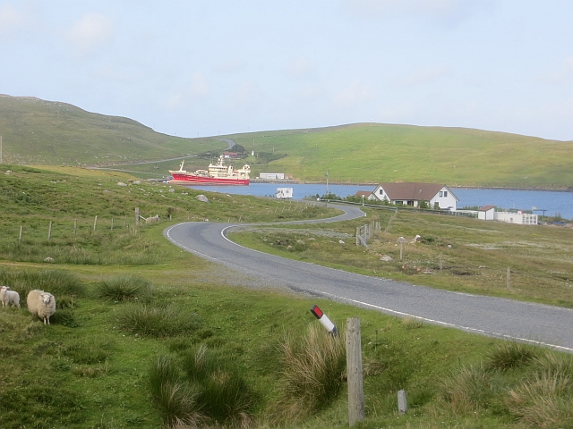
| current | 19:45, 1 December 2016 | | 640 × 480 (243 KB) | Vlad (talk | contribs) | '''A970, North Collafirth''' The red trawler is the Altaire. |
File usage
The following 2 pages use this file: