File:A9 Cromarty Bridge - aerial from South.jpg
Jump to navigation
Jump to search

Size of this preview: 800 × 533 pixels. Other resolution: 1,400 × 933 pixels.
Original file (1,400 × 933 pixels, file size: 863 KB, MIME type: image/jpeg)
| |||||||||||||||||||||||||
|
Galleries | A9 | Photo of the Month April 2020 | Cromarty Bridge | A9/Easter Ross | Photo of the Month Winners | ||
File history
Click on a date/time to view the file as it appeared at that time.
| Date/Time | Thumbnail | Dimensions | User | Comment | |
|---|---|---|---|---|---|
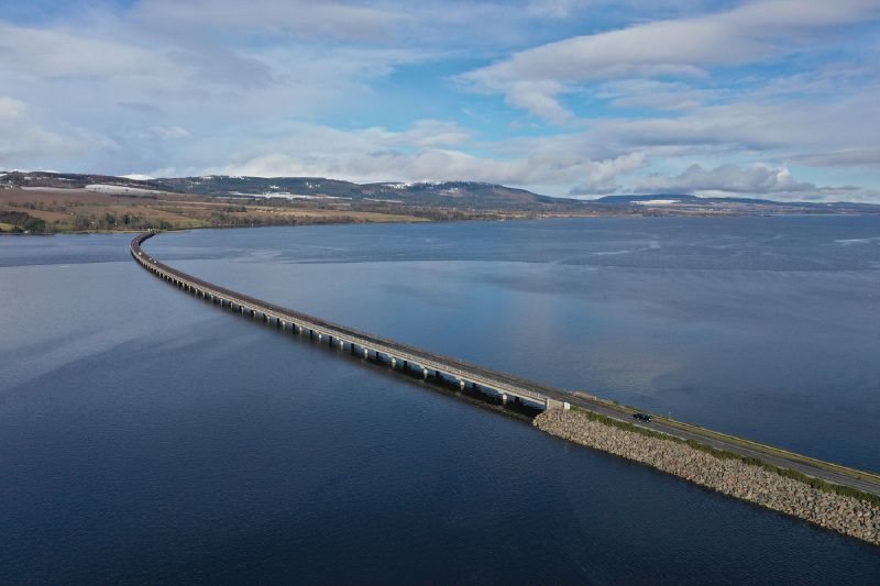
| current | 16:50, 8 March 2020 | | 1,400 × 933 (863 KB) | Glen (talk | contribs) | Aerial view of the Cromarty Firth Bridge from the South |
File usage
The following page uses this file: