File:A9 Drumochter dual carriageway.jpg
Jump to navigation
Jump to search

Size of this preview: 633 × 599 pixels. Other resolution: 1,936 × 1,833 pixels.
Original file (1,936 × 1,833 pixels, file size: 1.16 MB, MIME type: image/jpeg)
| ||||||||||||||
|
Galleries | A9 | A9/Drumochter Pass | ||
File history
Click on a date/time to view the file as it appeared at that time.
| Date/Time | Thumbnail | Dimensions | User | Comment | |
|---|---|---|---|---|---|
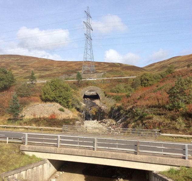
| current | 18:15, 15 October 2015 | | 1,936 × 1,833 (1.16 MB) | Duncan macknight (talk | contribs) | One of the culverts on the dualled section of the road and the concrete slab bridges that cross the burns running into the River Garry |
File usage
The following page uses this file:
- File:A9 Drumochter dual carriageway (file redirect)