File:A9 Slochd Enbankment.jpg
Jump to navigation
Jump to search

Size of this preview: 788 × 599 pixels. Other resolutions: 2,560 × 1,947 pixels | 2,747 × 2,089 pixels.
Original file (2,747 × 2,089 pixels, file size: 1.33 MB, MIME type: image/jpeg)
File history
Click on a date/time to view the file as it appeared at that time.
| Date/Time | Thumbnail | Dimensions | User | Comment | |
|---|---|---|---|---|---|
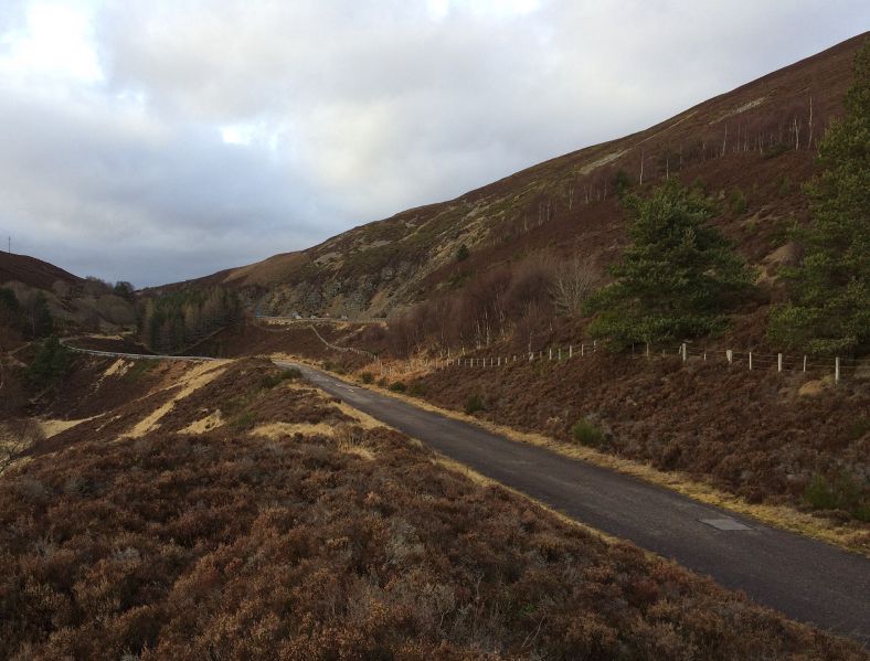
| current | 16:07, 21 February 2017 | | 2,747 × 2,089 (1.33 MB) | Duncan macknight (talk | contribs) | The large bank at the Slochd which crossed the glacial hollow with the old road surviving as a cycle track. |
File usage
The following page uses this file:
- File:A9 Slochd Enbankment (file redirect)