File:A9 dualling march16.jpg
Jump to navigation
Jump to search

Size of this preview: 560 × 599 pixels. Other resolution: 1,105 × 1,182 pixels.
Original file (1,105 × 1,182 pixels, file size: 176 KB, MIME type: image/jpeg)
| |||||||||||||||||||||||||
|
Galleries | A9 | ||
File history
Click on a date/time to view the file as it appeared at that time.
| Date/Time | Thumbnail | Dimensions | User | Comment | |
|---|---|---|---|---|---|
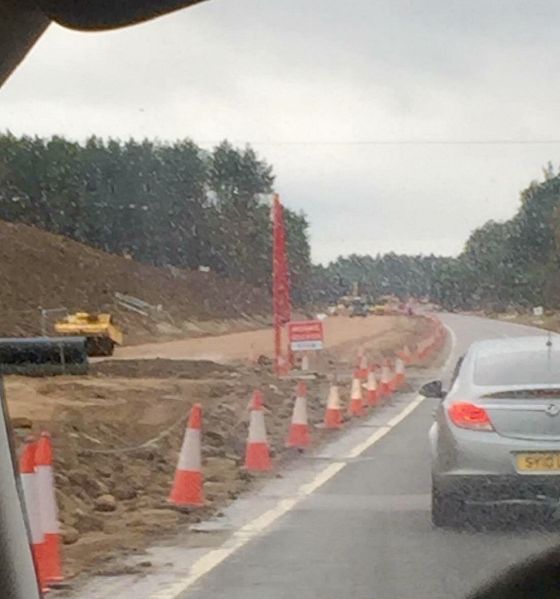
| current | 22:50, 12 March 2016 | | 1,105 × 1,182 (176 KB) | Duncan macknight (talk | contribs) | The dualling of the Kincraig to Dalraddy section of the A9 with the base of the northbound carriageway taking shape. |
File usage
The following page uses this file:
- File:A9 dualling march16 (file redirect)