File:A9 temporary terminus.jpg
Jump to navigation
Jump to search

Size of this preview: 663 × 600 pixels. Other resolution: 2,048 × 1,852 pixels.
Original file (2,048 × 1,852 pixels, file size: 1.6 MB, MIME type: image/jpeg)
| |||||||||||||||||||||||||
|
Galleries | A9 | Abandoned Road | ||
File history
Click on a date/time to view the file as it appeared at that time.
| Date/Time | Thumbnail | Dimensions | User | Comment | |
|---|---|---|---|---|---|
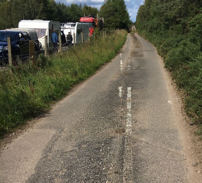
| current | 14:42, 2 September 2018 | | 2,048 × 1,852 (1.6 MB) | Duncan macknight (talk | contribs) | Evidence of a temporary terminus on the A9 south of Tain. At this location was the end of the “Garric Bridge” improvement scheme so the road terminated here before the climbing lane was built to the Nigg Roundabout. |
File usage
The following page uses this file:
- File:A9 temporary terminus (file redirect)