File:AA box at Devil's Bridge - Geograph - 1388904.jpg
Jump to navigation
Jump to search

Size of this preview: 450 × 600 pixels. Other resolution: 480 × 640 pixels.
Original file (480 × 640 pixels, file size: 113 KB, MIME type: image/jpeg)
| |||||||||||||||||||||||||
File history
Click on a date/time to view the file as it appeared at that time.
| Date/Time | Thumbnail | Dimensions | User | Comment | |
|---|---|---|---|---|---|
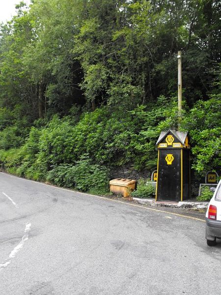
| current | 14:28, 19 March 2010 | | 480 × 640 (113 KB) | Bob@romiley1 (talk | contribs) | '''AA box at Devil's Bridge'''<br/>On the B4574 near its junction with the A4120. |
File usage
The following page uses this file: