File:A Hill of unspecified steepness - Geograph - 1741368.jpg
Jump to navigation
Jump to search

No higher resolution available.
A_Hill_of_unspecified_steepness_-_Geograph_-_1741368.jpg (640 × 480 pixels, file size: 126 KB, MIME type: image/jpeg)
| |||||||||||||||||||||||||
|
Galleries | Warning Sign/Steep Hill | ||
File history
Click on a date/time to view the file as it appeared at that time.
| Date/Time | Thumbnail | Dimensions | User | Comment | |
|---|---|---|---|---|---|
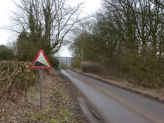
| current | 19:56, 10 March 2010 | | 640 × 480 (126 KB) | Jeni (talk | contribs) | '''A Hill of unspecified steepness'''<br/>Derbyshire County Council could not bring themselves to specify the gradient here; really, it isn't that steep. Alderwasley. |
File usage
There are no pages that use this file.