File:A bridge on the Bridgewater Canal at Runcorn - Geograph - 3218718.jpg
Jump to navigation
Jump to search

No higher resolution available.
A_bridge_on_the_Bridgewater_Canal_at_Runcorn_-_Geograph_-_3218718.jpg (640 × 485 pixels, file size: 139 KB, MIME type: image/jpeg)
| |||||||||||||||||||||||||
File history
Click on a date/time to view the file as it appeared at that time.
| Date/Time | Thumbnail | Dimensions | User | Comment | |
|---|---|---|---|---|---|
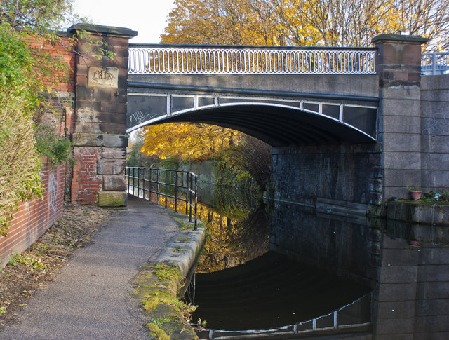
| current | 18:44, 7 June 2016 | | 640 × 485 (139 KB) | Vlad (talk | contribs) | '''A bridge on the Bridgewater Canal at Runcorn''' This bridge carries traffic to the centre of the old town |
File usage
The following 2 pages use this file: