File:A bridge over the Kale Water - Geograph - 1387226.jpg
Jump to navigation
Jump to search

Size of this preview: 400 × 600 pixels. Other resolution: 427 × 640 pixels.
Original file (427 × 640 pixels, file size: 129 KB, MIME type: image/jpeg)
| |||||||||||||||||||||||||
|
Galleries | b6401 | ||
File history
Click on a date/time to view the file as it appeared at that time.
| Date/Time | Thumbnail | Dimensions | User | Comment | |
|---|---|---|---|---|---|
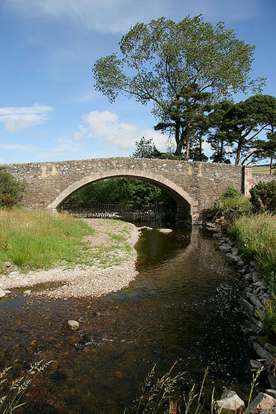
| current | 15:52, 11 April 2010 | | 427 × 640 (129 KB) | Bob@romiley1 (talk | contribs) | '''A bridge over the Kale Water'''<br/>On the B6401 1.25km to the east-northeast of Morebattle. This small hump-backed bridge requires a careful approach when travelling by car in either direction. |
File usage
The following 3 pages use this file: