File:Abermule bypass bridge - Geograph - 923427.jpg
Jump to navigation
Jump to search

No higher resolution available.
Abermule_bypass_bridge_-_Geograph_-_923427.jpg (640 × 480 pixels, file size: 80 KB, MIME type: image/jpeg)
| |||||||||||||||||||||||||
|
Galleries | A483 | Montgomeryshire | ||
File history
Click on a date/time to view the file as it appeared at that time.
| Date/Time | Thumbnail | Dimensions | User | Comment | |
|---|---|---|---|---|---|
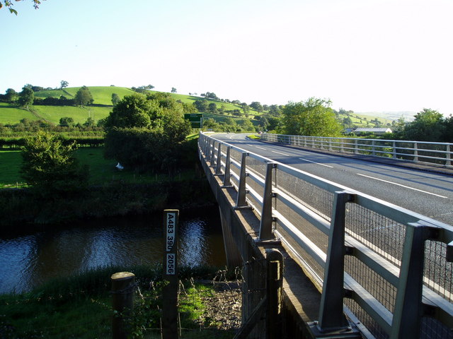
| current | 08:34, 19 May 2013 | | 640 × 480 (80 KB) | Viator (talk | contribs) | A483 - Abermule bypass bridge over the River Severn |
File usage
The following 3 pages use this file: