File:Abinger sign.JPG
Jump to navigation
Jump to search

Size of this preview: 450 × 600 pixels. Other resolution: 1,200 × 1,600 pixels.
Original file (1,200 × 1,600 pixels, file size: 532 KB, MIME type: image/jpeg)
| |||||||||||||||||||||||||
|
Galleries | Donkey Lane | Pre-Worboys Regulatory Signs | Regulatory Sign/No Buses | ||
File history
Click on a date/time to view the file as it appeared at that time.
| Date/Time | Thumbnail | Dimensions | User | Comment | |
|---|---|---|---|---|---|
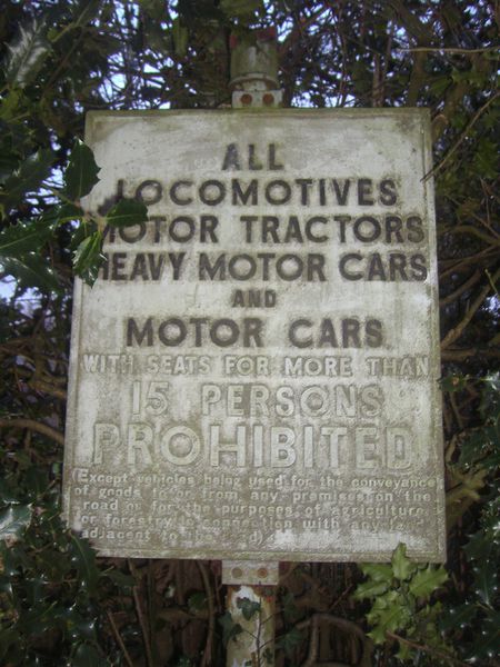
| current | 20:41, 22 January 2012 | | 1,200 × 1,600 (532 KB) | Davidnw9 (talk | contribs) | Pre-war prohibition sign, Abinger Common |
File usage
There are no pages that use this file.