File:Achill Island - Achill Sound Bridge - Geograph - 3756579.jpg
Jump to navigation
Jump to search

No higher resolution available.
Achill_Island_-_Achill_Sound_Bridge_-_Geograph_-_3756579.jpg (640 × 427 pixels, file size: 68 KB, MIME type: image/jpeg)
| |||||||||||||||||||||||||
|
Galleries | R319 | Atlantic Drive | Wild Atlantic Way | County Mayo | ||
File history
Click on a date/time to view the file as it appeared at that time.
| Date/Time | Thumbnail | Dimensions | User | Comment | |
|---|---|---|---|---|---|
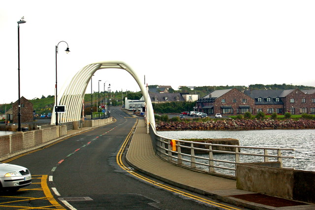
| current | 01:04, 17 December 2016 | | 640 × 427 (68 KB) | Bothar (talk | contribs) | '''Achill Island - Achill Sound Bridge''' View is to the east from R319 at the west end of the bridge. |
File usage
The following 4 pages use this file: