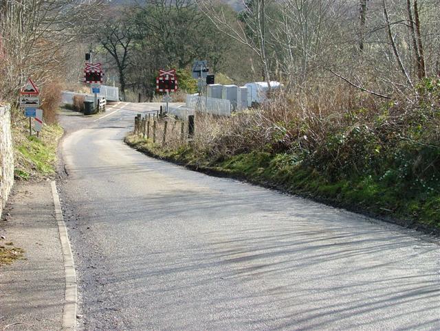
File:Achterneed Level Crossing - Geograph - 367212.jpg
Jump to navigation
Jump to search

No higher resolution available.
Achterneed_Level_Crossing_-_Geograph_-_367212.jpg (640 × 482 pixels, file size: 92 KB, MIME type: image/jpeg)
| |||||||||||||||||||||||||
|
Galleries | C1071 (Highland) | Ross-shire | Level Crossing | ||
File history
Click on a date/time to view the file as it appeared at that time.
| Date/Time | Thumbnail | Dimensions | User | Comment | |
|---|---|---|---|---|---|
| current | 17:23, 31 August 2009 | | 640 × 482 (92 KB) | Jeni (talk | contribs) | {{Information |description = Achterneed Level Crossing |day = 09 |month = 03 |year = 2007 |photographer = © Copyright [http://www.geograph.org.uk/profile/4460 Dave Fergusson] and licensed for reuse under [http://creativecommons.o |
File usage
The following page uses this file: