File:Across the level crossing, Llanwrda (C) Jaggery - Geograph - 2489911.jpg
Jump to navigation
Jump to search

No higher resolution available.
Across_the_level_crossing,_Llanwrda_(C)_Jaggery_-_Geograph_-_2489911.jpg (640 × 480 pixels, file size: 95 KB, MIME type: image/jpeg)
| |||||||||||||||||||||||||
|
Galleries | Level Crossing | Carmarthenshire | ||
File history
Click on a date/time to view the file as it appeared at that time.
| Date/Time | Thumbnail | Dimensions | User | Comment | |
|---|---|---|---|---|---|
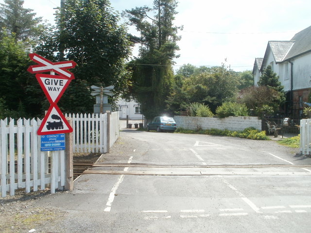
| current | 10:51, 3 November 2013 | | 640 × 480 (95 KB) | Glen (talk | contribs) | '''Across the level crossing, Llanwrda (C) Jaggery '''<br/>Station Road crosses the Heart of Wales railway line. The single-platform Llanwrda station <span class="nowrap"><a title="http://www.geograph.org.uk/photo/2489934" rel="nofollow" href="http://w... |
File usage
The following page uses this file:
_Jaggery_-_Geograph_-_2489911.jpg&oldid=376644)