File:Aerial view to junction 12 (M5) - Geograph - 6402094.jpg
Jump to navigation
Jump to search

No higher resolution available.
Aerial_view_to_junction_12_(M5)_-_Geograph_-_6402094.jpg (640 × 427 pixels, file size: 94 KB, MIME type: image/jpeg)
| |||||||||||||||||||||||||
File history
Click on a date/time to view the file as it appeared at that time.
| Date/Time | Thumbnail | Dimensions | User | Comment | |
|---|---|---|---|---|---|
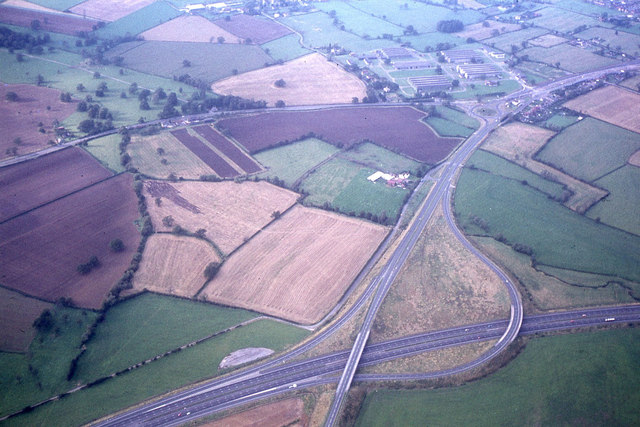
| current | 22:36, 8 April 2020 | | 640 × 427 (94 KB) | Bryn666 (talk | contribs) | '''Aerial view to junction 12 (M5)''' This junction has since been re modelled and is now a full junction. |
_-_Geograph_-_6402094.jpg&oldid=620079)