File:Aerial view to junction 27 of the M4 at Newport - Geograph - 6402116.jpg
Jump to navigation
Jump to search

No higher resolution available.
Aerial_view_to_junction_27_of_the_M4_at_Newport_-_Geograph_-_6402116.jpg (640 × 427 pixels, file size: 92 KB, MIME type: image/jpeg)
| |||||||||||||||||||||||||
|
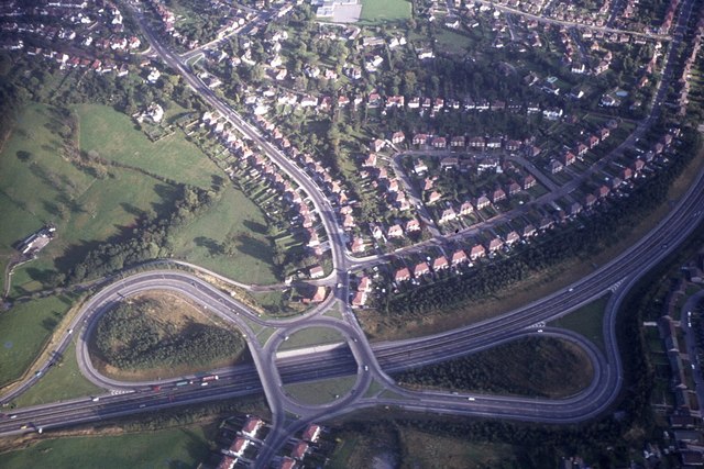
Galleries | M4 | B4591 | High Cross Interchange | ||
File history
Click on a date/time to view the file as it appeared at that time.
| Date/Time | Thumbnail | Dimensions | User | Comment | |
|---|---|---|---|---|---|
| current | 22:35, 8 April 2020 | | 640 × 427 (92 KB) | Bryn666 (talk | contribs) | '''Aerial view to junction 27 of the M4 at Newport''' |
File usage
The following 2 pages use this file: