File:After The Flood - Geograph - 1008192.jpg
Jump to navigation
Jump to search

No higher resolution available.
After_The_Flood_-_Geograph_-_1008192.jpg (640 × 474 pixels, file size: 94 KB, MIME type: image/jpeg)
| |||||||||||||||||||||||||
|
Galleries | A79 | Ayr | Victoria Bridge (Ayr) | ||
File history
Click on a date/time to view the file as it appeared at that time.
| Date/Time | Thumbnail | Dimensions | User | Comment | |
|---|---|---|---|---|---|
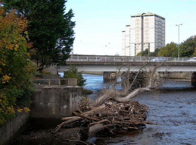
| current | 16:51, 22 July 2010 | | 640 × 474 (94 KB) | Bob@romiley1 (talk | contribs) | '''After The Flood'''<br/>Debris by the River Ayr at the Mill Brae car park after the previous week's flood. Victoria Bridge, in this square, is in the background. |
File usage
The following 4 pages use this file: