File:Ainsworth Lane - Geograph - 2738764.jpg
Jump to navigation
Jump to search

No higher resolution available.
Ainsworth_Lane_-_Geograph_-_2738764.jpg (640 × 428 pixels, file size: 74 KB, MIME type: image/jpeg)
| |||||||||||||||||||||||||
|
Galleries | B6208 | ||
File history
Click on a date/time to view the file as it appeared at that time.
| Date/Time | Thumbnail | Dimensions | User | Comment | |
|---|---|---|---|---|---|
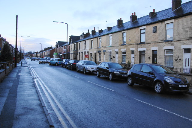
| current | 19:21, 26 August 2016 | | 640 × 428 (74 KB) | Vlad (talk | contribs) | '''Ainsworth Lane''' A useful road avoiding the town centre on the eastern side of Bolton. There is a cluster of shops a little way ahead. |
File usage
The following 2 pages use this file: