File:Airdrie, Clarkston - Geograph - 2497078.jpg
Jump to navigation
Jump to search

No higher resolution available.
Airdrie,_Clarkston_-_Geograph_-_2497078.jpg (640 × 480 pixels, file size: 58 KB, MIME type: image/jpeg)
| |||||||||||||||||||||||||
|
Galleries | B8058 | B7058 (Airdrie) | ||
File history
Click on a date/time to view the file as it appeared at that time.
| Date/Time | Thumbnail | Dimensions | User | Comment | |
|---|---|---|---|---|---|
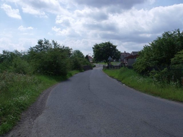
| current | 20:08, 3 November 2016 | | 640 × 480 (58 KB) | Vlad (talk | contribs) | '''Airdrie, Clarkston''' The B8058 crosses the old railway branch line that served the Boots factory at Rawyards. |
File usage
The following 4 pages use this file: