File:Albert Street, Brigg (C) Paul Harrop - Geograph - 1516545.jpg
Jump to navigation
Jump to search

No higher resolution available.
Albert_Street,_Brigg_(C)_Paul_Harrop_-_Geograph_-_1516545.jpg (640 × 426 pixels, file size: 188 KB, MIME type: image/jpeg)
| |||||||||||||||||||||||||
|
Galleries | B1199 (Brigg) | unclassified | ||
File history
Click on a date/time to view the file as it appeared at that time.
| Date/Time | Thumbnail | Dimensions | User | Comment | |
|---|---|---|---|---|---|
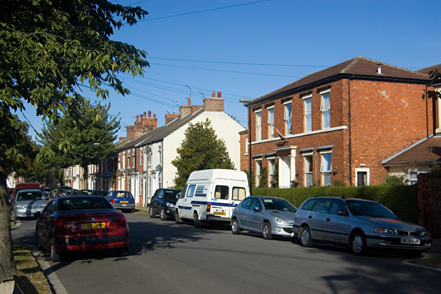
| current | 20:04, 30 May 2015 | | 640 × 426 (188 KB) | Vlad (talk | contribs) | '''Albert Street, Brigg (C) Paul Harrop '''<br/>The large building on the right is the Clarence House nursing home. |
File usage
The following 2 pages use this file:
_Paul_Harrop_-_Geograph_-_1516545.jpg&oldid=398408)