File:Alderley Road, Whirley Grove, Macclesfield - Geograph - 2326638.jpg
Jump to navigation
Jump to search

No higher resolution available.
Alderley_Road,_Whirley_Grove,_Macclesfield_-_Geograph_-_2326638.jpg (640 × 480 pixels, file size: 57 KB, MIME type: image/jpeg)
| |||||||||||||||||||||||||
|
Galleries | B5087 | ||
File history
Click on a date/time to view the file as it appeared at that time.
| Date/Time | Thumbnail | Dimensions | User | Comment | |
|---|---|---|---|---|---|
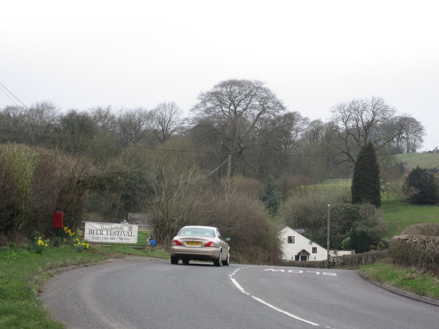
| current | 13:46, 8 March 2018 | | 640 × 480 (57 KB) | Viator (talk | contribs) | The B5087 at Whirley Grove, heading north-west out of Macclesfield towards Alderley Edge |
File usage
The following page uses this file: