File:Aldermoor Road, Southampton (C) GaryReggae - Geograph - 113781.jpg
Jump to navigation
Jump to search

No higher resolution available.
Aldermoor_Road,_Southampton_(C)_GaryReggae_-_Geograph_-_113781.jpg (640 × 480 pixels, file size: 151 KB, MIME type: image/jpeg)
| |||||||||||||||||||||||||
|
Galleries | C500 (Southampton) | Southampton | ||
File history
Click on a date/time to view the file as it appeared at that time.
| Date/Time | Thumbnail | Dimensions | User | Comment | |
|---|---|---|---|---|---|
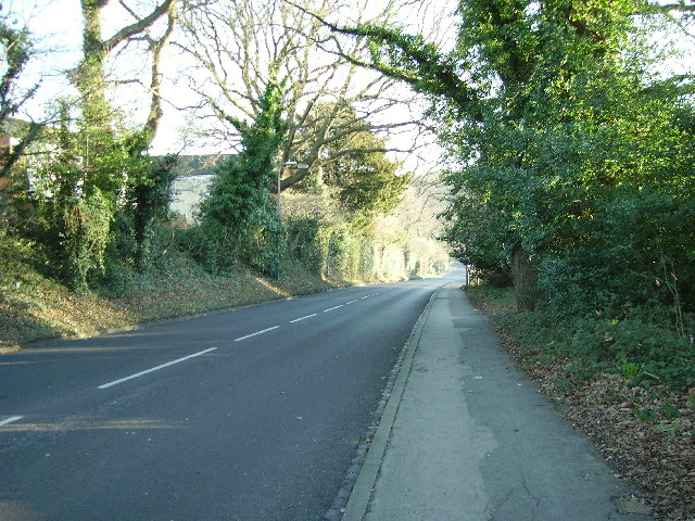
| current | 13:35, 12 July 2014 | | 640 × 480 (151 KB) | Si404 (talk | contribs) | '''Aldermoor Road, Southampton (C) GaryReggae '''<br/>Looking East down Aldermoor Road towards the Lordsdale valley. It looks quite rural but there are houses on both sides behind the trees. |
File usage
The following page uses this file:
_GaryReggae_-_Geograph_-_113781.jpg&oldid=380518)