File:Aldersgate Street and Long Lane - Geograph - 576302.jpg
Jump to navigation
Jump to search

No higher resolution available.
Aldersgate_Street_and_Long_Lane_-_Geograph_-_576302.jpg (640 × 480 pixels, file size: 95 KB, MIME type: image/jpeg)
| |||||||||||||||||||||||||
|
Galleries | A1 Central London - South Mimms | B500 | B100 | Central London | The City | ||
File history
Click on a date/time to view the file as it appeared at that time.
| Date/Time | Thumbnail | Dimensions | User | Comment | |
|---|---|---|---|---|---|
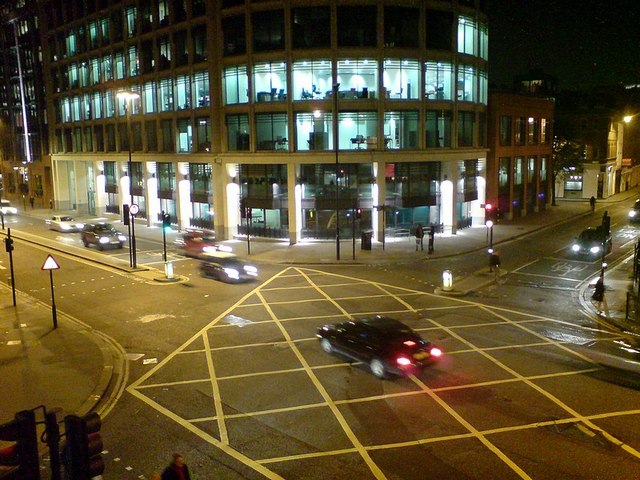
| current | 15:05, 29 July 2010 | | 640 × 480 (95 KB) | Si404 (talk | contribs) | '''Aldersgate Street and Long Lane'''<br/>Looking down from the high-level walkway from the Barbican (behind the photographer) to the Barbican underground station (just out of shot to the right). <br /> Aldersgate Street on the left and Long Lane top rig |