File:Along the road - Geograph - 3549376.jpg
Jump to navigation
Jump to search

No higher resolution available.
Along_the_road_-_Geograph_-_3549376.jpg (640 × 480 pixels, file size: 94 KB, MIME type: image/jpeg)
| |||||||||||||||||||||||||
|
Galleries | R589 | ||
File history
Click on a date/time to view the file as it appeared at that time.
| Date/Time | Thumbnail | Dimensions | User | Comment | |
|---|---|---|---|---|---|
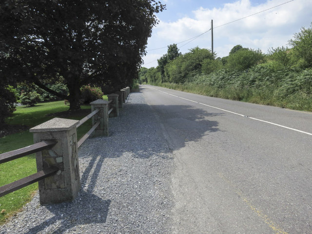
| current | 10:22, 14 May 2016 | | 640 × 480 (94 KB) | C2r (talk | contribs) | '''Along the road''' Looking west along the R589 just at the crossroads of Lissagroom. |
File usage
The following page uses this file: