File:Amersham Old Town- A413 Amersham Bypass bridge - Geograph - 722234.jpg
Jump to navigation
Jump to search

No higher resolution available.
Amersham_Old_Town-_A413_Amersham_Bypass_bridge_-_Geograph_-_722234.jpg (640 × 480 pixels, file size: 93 KB, MIME type: image/jpeg)
| |||||||||||||||||||||||||
|
Galleries | MC32 (Buckinghamshire) | Amersham | ||
File history
Click on a date/time to view the file as it appeared at that time.
| Date/Time | Thumbnail | Dimensions | User | Comment | |
|---|---|---|---|---|---|
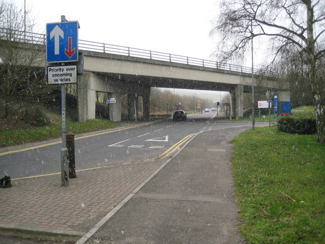
| current | 11:16, 16 June 2010 | | 640 × 480 (93 KB) | Si404 (talk | contribs) | '''Amersham Old Town- A413 Amersham Bypass bridge'''<br/>Whielden Street, which was originally the main A404 road out of Amersham towards High Wycombe, passes under the A413 Amersham Bypass here. The photo was taken in a sudden snow squall. |
File usage
The following page uses this file: