File:Amersham Road (A355) - Geograph - 852052.jpg
Jump to navigation
Jump to search

No higher resolution available.
Amersham_Road_(A355)_-_Geograph_-_852052.jpg (640 × 480 pixels, file size: 74 KB, MIME type: image/jpeg)
| |||||||||||||||||||||||||
|
Galleries | A355 | B472 (Beaconsfield - Amersham) | Beaconsfield | ||
File history
Click on a date/time to view the file as it appeared at that time.
| Date/Time | Thumbnail | Dimensions | User | Comment | |
|---|---|---|---|---|---|
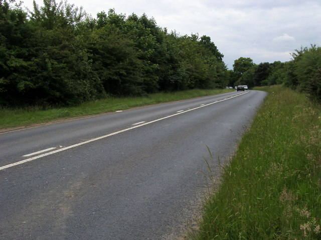
| current | 12:58, 8 April 2010 | | 640 × 480 (74 KB) | Sabristo simon (talk | contribs) | Amersham Road (A355) a bit outside Beaconsfield, heading towards the town. |
File usage
The following 3 pages use this file:
_-_Geograph_-_852052.jpg&oldid=394806)