File:Amhainn an t-Stratha Bhig at Loch Eriboll - Geograph - 5045506.jpg
Jump to navigation
Jump to search

No higher resolution available.
Amhainn_an_t-Stratha_Bhig_at_Loch_Eriboll_-_Geograph_-_5045506.jpg (640 × 480 pixels, file size: 88 KB, MIME type: image/jpeg)
| |||||||||||||||||||||||||
|
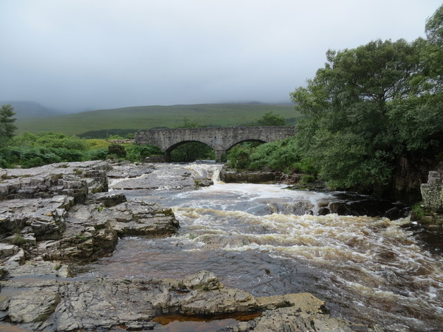
Galleries | A838 | Polla Bridge | Sutherland | ||
File history
Click on a date/time to view the file as it appeared at that time.
| Date/Time | Thumbnail | Dimensions | User | Comment | |
|---|---|---|---|---|---|
| current | 18:38, 7 December 2019 | | 640 × 480 (88 KB) | Glen (talk | contribs) | '''Amhainn an t-Stratha Bhig at Loch Eriboll''' |
File usage
The following 2 pages use this file: