File:An old road at Selkirk - Geograph - 1756849.jpg

From Roader's Digest: The SABRE Wiki
Jump to navigation Jump to search

An_old_road_at_Selkirk_-_Geograph_-_1756849.jpg(640 × 427 pixels, file size: 147 KB, MIME type: image/jpeg)

Y topleft.gifY topright.gif
Description:
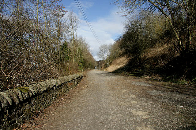
An old road at Selkirk This short section of road used to link Ettrick Terrace (A7) with Dunsdale Road, but it is now only accessible by pedestrians since a new junction was formed 500m to the north-northeast at the A7.
Location:55.555250, -2.836804
Road:B7014
Date:14 03 2010
Photographer:(c) Copyright Walter Baxter and licensed for reuse under this Creative Commons Licence
Source:Geograph

Map

Y btmleft.gifY btmright.gif

Galleries  | B7014 | Selkirk | Abandoned Road

File history

Click on a date/time to view the file as it appeared at that time.

Date/TimeThumbnailDimensionsUserComment
current19:08, 27 October 2016Thumbnail for version as of 19:08, 27 October 2016640 × 427 (147 KB)Vlad (talk | contribs)'''An old road at Selkirk''' This short section of road used to link Ettrick Terrace (A7) with Dunsdale Road, but it is now only accessible by pedestrians since a new junction was formed 500m to the north-northeast at the A7.

The following 2 pages use this file:

Metadata

SABRE - The Society for All British and Irish Road Enthusiasts
Discuss - Digest - Discover - Help