File:Annington Road, Botolphs - Geograph - 2471982.jpg
Jump to navigation
Jump to search

No higher resolution available.
Annington_Road,_Botolphs_-_Geograph_-_2471982.jpg (640 × 480 pixels, file size: 78 KB, MIME type: image/jpeg)
| |||||||||||||||||||||||||
|
Galleries | C13 (West Sussex) | ||
File history
Click on a date/time to view the file as it appeared at that time.
| Date/Time | Thumbnail | Dimensions | User | Comment | |
|---|---|---|---|---|---|
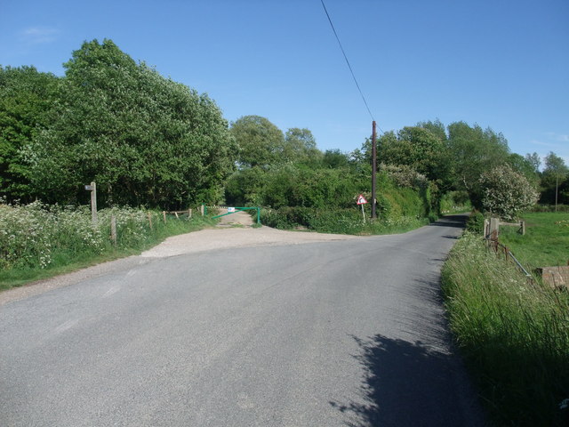
| current | 15:21, 24 January 2019 | | 640 × 480 (78 KB) | Jervi (talk | contribs) | '''Annington Road, Botolphs''' The South Downs Way follows the lane straight ahead towards the River Adur |
File usage
The following page uses this file: