File:Approaching Cappamore - Geograph - 2544667.jpg
Jump to navigation
Jump to search

No higher resolution available.
Approaching_Cappamore_-_Geograph_-_2544667.jpg (640 × 479 pixels, file size: 77 KB, MIME type: image/jpeg)
| |||||||||||||||||||||||||
|
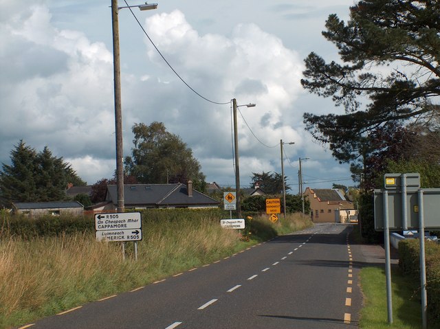
Galleries | R506 | ||
File history
Click on a date/time to view the file as it appeared at that time.
| Date/Time | Thumbnail | Dimensions | User | Comment | |
|---|---|---|---|---|---|
| current | 10:03, 6 May 2015 | | 640 × 479 (77 KB) | Viator (talk | contribs) | Approaching Cappamore and the eastern terminus of the R506 |
File usage
The following 2 pages use this file: