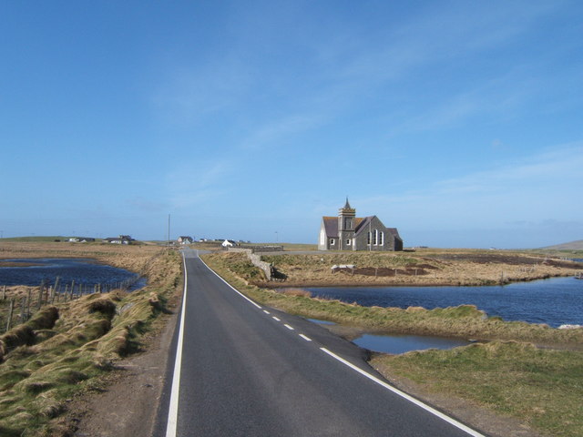
File:Approaching Kilmuir and Paible Church (C) Barbara Carr - Geograph - 3307089.jpg
Jump to navigation
Jump to search

No higher resolution available.
Approaching_Kilmuir_and_Paible_Church_(C)_Barbara_Carr_-_Geograph_-_3307089.jpg (640 × 480 pixels, file size: 53 KB, MIME type: image/jpeg)
| |||||||||||||||||||||||||
|
Galleries | A865 | B893 (Tigharry - Clachan) | ||
File history
Click on a date/time to view the file as it appeared at that time.
| Date/Time | Thumbnail | Dimensions | User | Comment | |
|---|---|---|---|---|---|
| current | 20:07, 7 April 2015 | | 640 × 480 (53 KB) | Vlad (talk | contribs) | Approaching Kilmuir and Paible Church (C) Barbara Carr |
File usage
The following 2 pages use this file:
_Barbara_Carr_-_Geograph_-_3307089.jpg&oldid=396840)