No higher resolution available.
File history
Click on a date/time to view the file as it appeared at that time.
| Date/Time | Thumbnail | Dimensions | User | Comment |
|---|
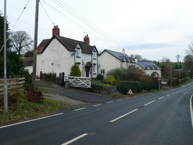
| current | 14:50, 23 March 2010 |  | 640 × 480 (67 KB) | Bob@romiley1 (talk | contribs) | '''Approaching Ruthin on the B5105'''<br/>The first house is dated 1888, the others beyond are 2007. |
File usage
The following 4 pages use this file:
This file contains additional information, probably added from the digital camera or scanner used to create or digitise it.
If the file has been modified from its original state, some details may not fully reflect the modified file.
