File:Approaching Strath Beag - Geograph - 237536.jpg
Jump to navigation
Jump to search

No higher resolution available.
Approaching_Strath_Beag_-_Geograph_-_237536.jpg (640 × 480 pixels, file size: 109 KB, MIME type: image/jpeg)
| |||||||||||||||||||||||||
|
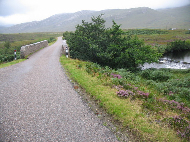
Galleries | A838 | Polla Bridge | Sutherland | ||
File history
Click on a date/time to view the file as it appeared at that time.
| Date/Time | Thumbnail | Dimensions | User | Comment | |
|---|---|---|---|---|---|
| current | 18:37, 7 December 2019 | | 640 × 480 (109 KB) | Glen (talk | contribs) | '''Approaching Strath Beag''' A view looking to the southwest along the A838 approaching the bridge over Amhainn an t-Stratha Beag, showing the weir on the right. |
File usage
The following page uses this file: